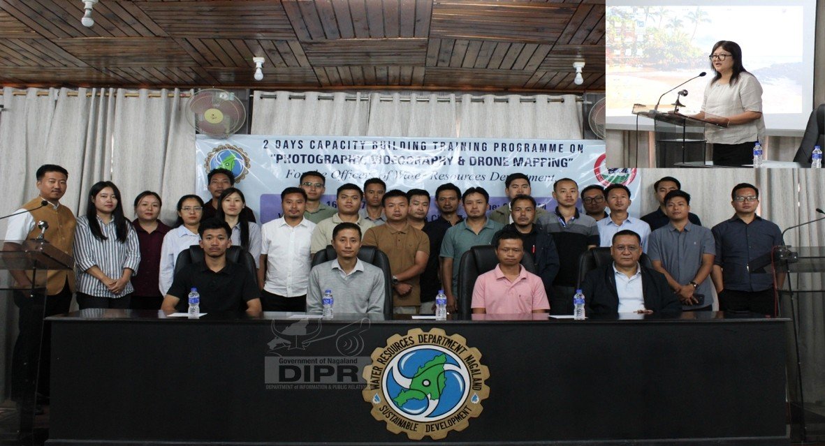
A two-day capacity-building training programme on photography, videography and drone mapping for officers of the Water Resources Department (WRD) began at the conference hall of the Chief Engineer, WRD, Kohima, on July 16.
According to DIPR Executive Engineer, WRD, Wapangnaro Imchen, while delivering the keynote address, said the department plays a vital role in ensuring water security, developing irrigation infrastructure, conserving water resources and protecting communities from floods and erosion. To effectively discharge these responsibilities, she stressed the need to adopt modern technology and strengthen the technical skills of departmental officers.
She said photography, videography and drone mapping have become integral to preparing Detailed Project Reports (DPRs), as they provide clear visual documentation for monitoring projects without the need for frequent field visits.
Highlighting the importance of quality visual documentation, Imchen noted that some project proposals presented to the Ministry had been rejected due to poor-quality photographs and videos submitted by field divisions. She therefore urged engineers and departmental officers to undergo the training sincerely and acquire the necessary skills to improve project documentation.
She also underscored the importance of GIS mapping, pointing out that every DPR requires a GIS map and that proposals lacking one are often rejected. Given that many WRD projects are located in difficult terrain, she encouraged participants to make full use of drone mapping technology for efficient surveying and monitoring.
Imchen further called on the trainees to apply the knowledge gained during the two-day programme in their respective divisions to enhance the quality of photography, videography and drone mapping in departmental projects.
Earlier, the programme was chaired by Junior Engineer Mulukhhoto Khama, who said photography, videography and drone mapping have become indispensable tools for effective project documentation, monitoring and evaluation. He said these technologies help produce accurate visual records, improve the quality of reports and address audit observations with credible evidence.
He expressed hope that the training would equip participants with practical skills to enhance efficiency and professionalism in carrying out their responsibilities.
The resource persons for the training included Information Assistant Morotsu Longchar and Assistant Photographer Viketso Meyase from the Department of Information and Public Relations (DIPR), Er. C. Yamukam Yimchunger, JE, WRD, Er. Ihalung Herie, SDO, WRD, Er. Kevilhoukho Lhousa, SDO, WRD, and Wati JASmir, GIS expert, WRD.